Today is Monday for Beth: she had the last three days off, and will work for the next six. Cellana is on a nine day week. I took a break from blogmastering so that Beth and I could do the requisite house and furniture searching together, but we also got our first good taste of the scenic Hawaii people vacation here for.
We drove south down the highway for a cluster of Kona attractions: snorkeling and spinner dolphins in Kealakekua Bay, and down farther, the historic Hawaiian religious site and royal grounds of Pu'uhona o Honaunau.
Kealakekua Bay is a sheltered bay formed when a huge chunk of Mauna Loa fractured off of the mountain and slumped into the ocean. It is now a shallow (40'?) bay, flanked by the huge landslide scarp (cliff), a safe place for spinner dolphins to rest, and a sheltered place with a great snorkeling reef. It is also where the infamous Captain Cook first landed on Hawaii, putting it on European maps. He also died here, not long after his first landing. It's a pretty interesting story. Here is, once again, a Wikipedia link. Man, they sure do a good job. A monument across the bay from the access marks the place of his death and also the best snorkeling spot.
Beth and I rented a kayak and made the 30 minute paddle across, stopping to find the local dolphins on the way. I jumped in with my fins and snorkel, and watched them swimming around, but they weren't interested in me. Still cool to see them underwater. I suppose I saw 15-20 of them, the closest about 30' away. The guy we rented the kayak from said it was like swimming in an aquarium. True. This is where my novice blogger status really comes through, though; I haven't trained myself to take enough pictures to make a truly lively blog. You'll have to use your imagination (or come see for yourself).
The snorkeling was great, but we (that's us on the right) had to get out after only about 40 minutes, because the water was so cold! Most locals here wear thin wetsuits while diving to stay warm. We don't have an underwater camera, but this was another aquarium scene: lots of lobate and finger coral, lots of jackfish, parrotfish, eels, sergeant fish, pipefish, groupers, and fish I don't know the names of.
Well I've got to head out to do some moving-related work for our New Apartment! More about that, and Pu'uhona o Honaunau later.
Showing posts with label geology. Show all posts
Friday, November 12, 2010
Monday, November 8, 2010
bicycle commuter!
This morning, Beth and I skipped sunrise at Honul's beach to ride our bikes out to Cellana. Once we snuck out of town, avoiding the major streets, we got up onto Queen Kahumanu Highway, and it was a quick little ride along the relatively flat road. There is a very wide shoulder, but it is a little scary riding next to the 50 mph traffic. It was a quick 40 minute ride, door to door. Little did we realize that our journey was eased, like so many before us, by strong SE trade winds! I'm sure that by the time she has to ride home, the wind will have switched to her favor... grumble grumble.
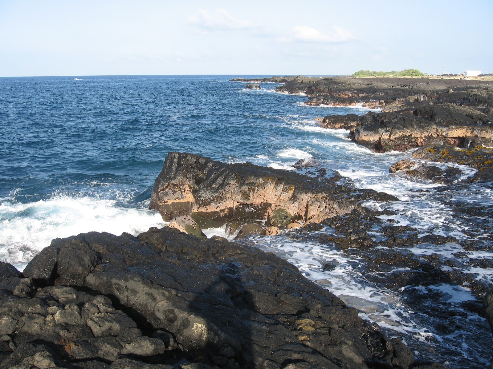
I stopped by Wawaloli Beach Park on the way home. It is situated on the same 1801 lava flow as the airport and Cellana, and has lots of rocky shoreline. A little reminiscent of the North Shore of Lake Superior. Only a little. The rocks are both basalt, yes, but they are way younger and more rugged here. Also, the waves are a lot bigger. Pretty impressive to this flatlander. I was impressed with the power and size of the waves and the amount of water they pushed up onto the rocks.
The big peach rock in the middle is covered by about 6 feet more water in the bottom picture than the top! (sorry no scale).
One place, the waves would slam into the porous, fissured rock, and force air and water through the spaces. The rocks would hiss and sputter with each wave crest. Almost like they were alive. It was very cool. I was spooked the first time I heard it, until I figured out what was going on. I even saw one little geyser that would shoot 3 feet in the air! neat.
Here is some of the pahoehoe (ropey lava) I saw. groovy.
Rainbow! Wavebow?
The lil geyser. Ok, maybe not 3 feet.
One of the funny parts about walking on the rocks was that the little rock crabs would go scurrying away like crazy, usually before I even saw them. Often with so much vigor that they would fling themselves off the 6' cliffs and go spinning into the sea. I suppose it is so they wouldn't end up like this:
Here is a Honul's Beach crab, so you can see what the living ones look like: well camouflaged.
I stopped by Wawaloli Beach Park on the way home. It is situated on the same 1801 lava flow as the airport and Cellana, and has lots of rocky shoreline. A little reminiscent of the North Shore of Lake Superior. Only a little. The rocks are both basalt, yes, but they are way younger and more rugged here. Also, the waves are a lot bigger. Pretty impressive to this flatlander. I was impressed with the power and size of the waves and the amount of water they pushed up onto the rocks.
The big peach rock in the middle is covered by about 6 feet more water in the bottom picture than the top! (sorry no scale).
One place, the waves would slam into the porous, fissured rock, and force air and water through the spaces. The rocks would hiss and sputter with each wave crest. Almost like they were alive. It was very cool. I was spooked the first time I heard it, until I figured out what was going on. I even saw one little geyser that would shoot 3 feet in the air! neat.
Here is some of the pahoehoe (ropey lava) I saw. groovy.
Rainbow! Wavebow?
The lil geyser. Ok, maybe not 3 feet.
One of the funny parts about walking on the rocks was that the little rock crabs would go scurrying away like crazy, usually before I even saw them. Often with so much vigor that they would fling themselves off the 6' cliffs and go spinning into the sea. I suppose it is so they wouldn't end up like this:
Here is a Honul's Beach crab, so you can see what the living ones look like: well camouflaged.
Sunday, November 7, 2010
sunrise at Ali'i cove!
Nice sunrise this morning. This place is called Houl's Beach, just minutes from Cellana's condo.
Here is a picture of the condo complex from Ali'i Drive (map).
On the map, you can see Honul's beach in between the vacation rentals and the clairvoyant center. Kind of a metaphor for my life? Anyway, the condo is in the wedge of undeveloped (at photo time) land just inland of the clairvoyant center. Ali'i is the Hawaiian word for the historic noble class, believed to have had divine origins!
Our unit is on the ground floor, facing the pool, which in this picture is behind the hedge.
You can see Mt Hoalalai in the background of this picture.
There it is on the map the Easternmost mountain on the big island.
Hualalai is considered dormant, but is responsible for the 1801 flow that the Kona Airport is on. It has also been a part of 3 seismic/eruptive events since then, most recently in 1929. It is the 3rd most active Hawaiian volcano, after Kilauea and Manu Loa. Doesn't sound dormant to me! Here is a good Wikipedia page on Hualalai.
But all the really active lava flows, the ones famous for flowing continuously into the ocean, are on the coast south of Kilauea. There is a lot of cool Volcanology here. More to come to be sure. But while this picture is here, check out Lo'ihi, in the ocean south of Kilauea. It is currently the volcano most directly over the hot spot and will be the next volcanic Hawaiian island. Here's a graphic illustrating the idea: see how the hot spot is stationary and the Pacific plate moves NW, creating the island chain? Good.
Friday, November 5, 2010
fresh off the boat!
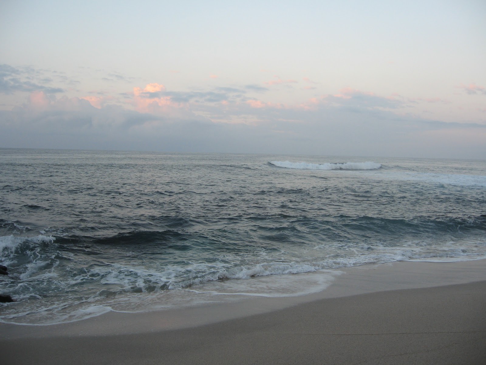
We arrived in Kona and made it to the nice little retirement/condo gated community where Beth’s company has a condo on Tuesday afternoon. Its super cheesy, and I wouldn't want to live here, but a nice place to land in! We woke up at 5 Wednesday morning (5 hours behind MN here) and walked to the beach (5 mins!) to watch the sunrise with our coffee. It was longer than I expected from what I've heard of the tropical twilight. This is big sky country! nothing but the ocean out there. There was a rainstorm moving through somewhere over the ocean, so there were plenty of clouds to make all pink and purpley. There were already 3 surfers out-- I think beth and I are going to like stand-up paddleboarding. It looks like a good intro to surfing, using some of our canoeing skillz. It's already getting warm here at 9 AM. The sun gets up high and zaps down around here, I think.
The flight over here was wild. We flew over the insanely dry and rugged desert between Phoenix and LA. That is not a place for people. Then north along the coast just long enough to get a really good view of LA, the valley, and Catalina island. that was cool. then 6 hours of nothing but massive impenetrable blue ocean with a few clouds poofing up in places. Then, there is this mountain just sloping super gradually up out of the ocean, like it was just feet below the surface the whole time. Very casual. no indication it was coming. like it could have been anywhere it wanted Not what I expected the tallest mountain in the world to look like. it was very cool.
Then, the lava flow where the airport is built looked like the moon, or mars, or some kind of desolate nuclear wasteland. Just jagged brown and black lava flows over jagged brown and black lava flows. with lots more topography than I expected. 20 foot tall collapsed caves of lava in the essentially planar field. very few plants. Beth thinks it is 10 years old. I would think it could be over 100 and still look the same. (Update: the map says “Lava flow of 1801.” Maybe I misheard her)
This is a crazy chunk of planet, from what I can tell so far. You'll have to come see for yourself! (all we've seen of the town so far is a very typically american big box edge of town drive from the airport, and a very touristy downtown)
Subscribe to:
Posts (Atom)